Stéphane Bruchet
_______________________[Back to project page]
The cultural landscape
of the Boggeragh UplandsPages structure:
- Introduction
- Uplands map and distribution
- Image samples
- Introduction
- Uplands map and distribution
- Image samples

The collection consists of 300 images organised in 3 main themes:
- Topography forms & features of land surfaces
- Settlement Structures & human occupation
- Land Use Economic & recreational activities
The visual on the right shows the Boggeragh Uplands as if sea level rose by 150 metres. Althought there is a continuity in the landscape and how people have occupied it over thousands of years, it is not considered a consistent area from an administrative point of view.
It is divided in 2 constituencies (Cork North Central & Cork North West), 3 Local Election Authorities (Mallow, Kanturk & Macroom) and 8 Civil Parishes.
There are over 100 townlands, the oldest land division in Ireland. Most were named after natural features (waterways, elevation, communication paths) and seem to convey a sense of connection to the land lost in modern divisions.

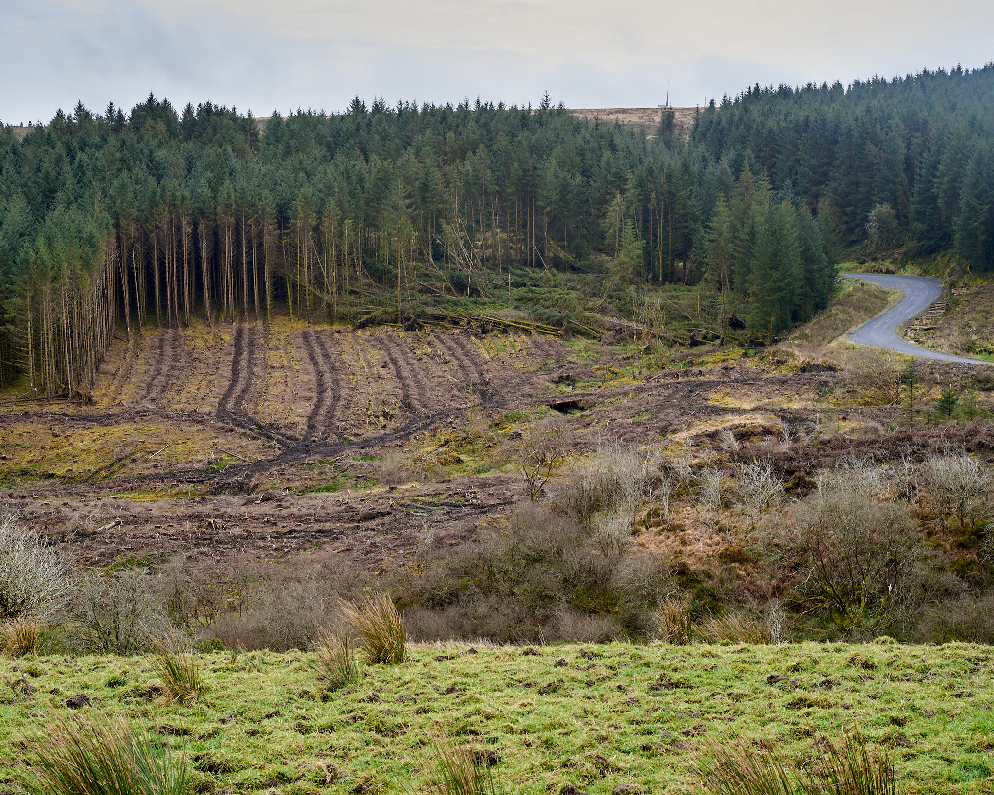
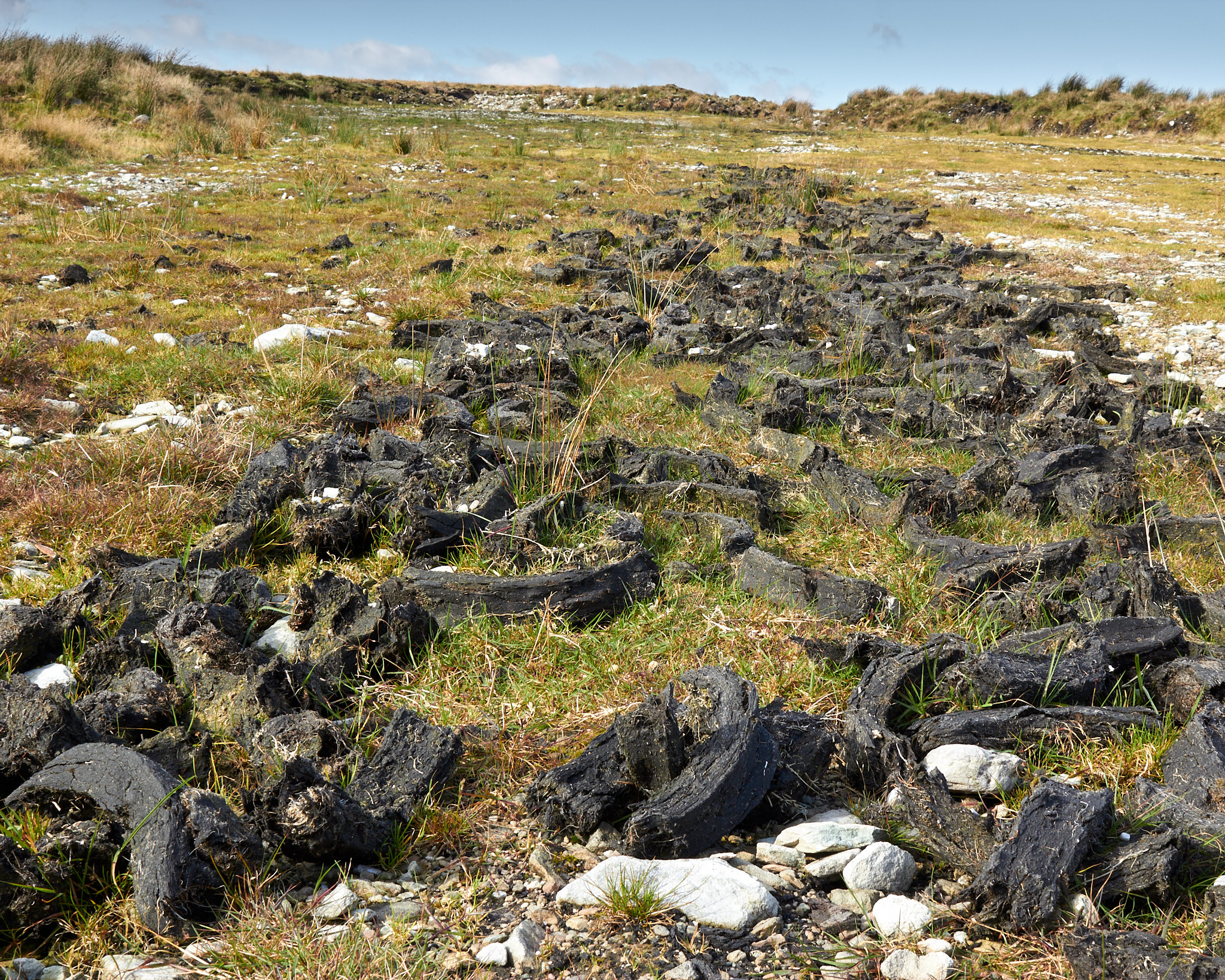
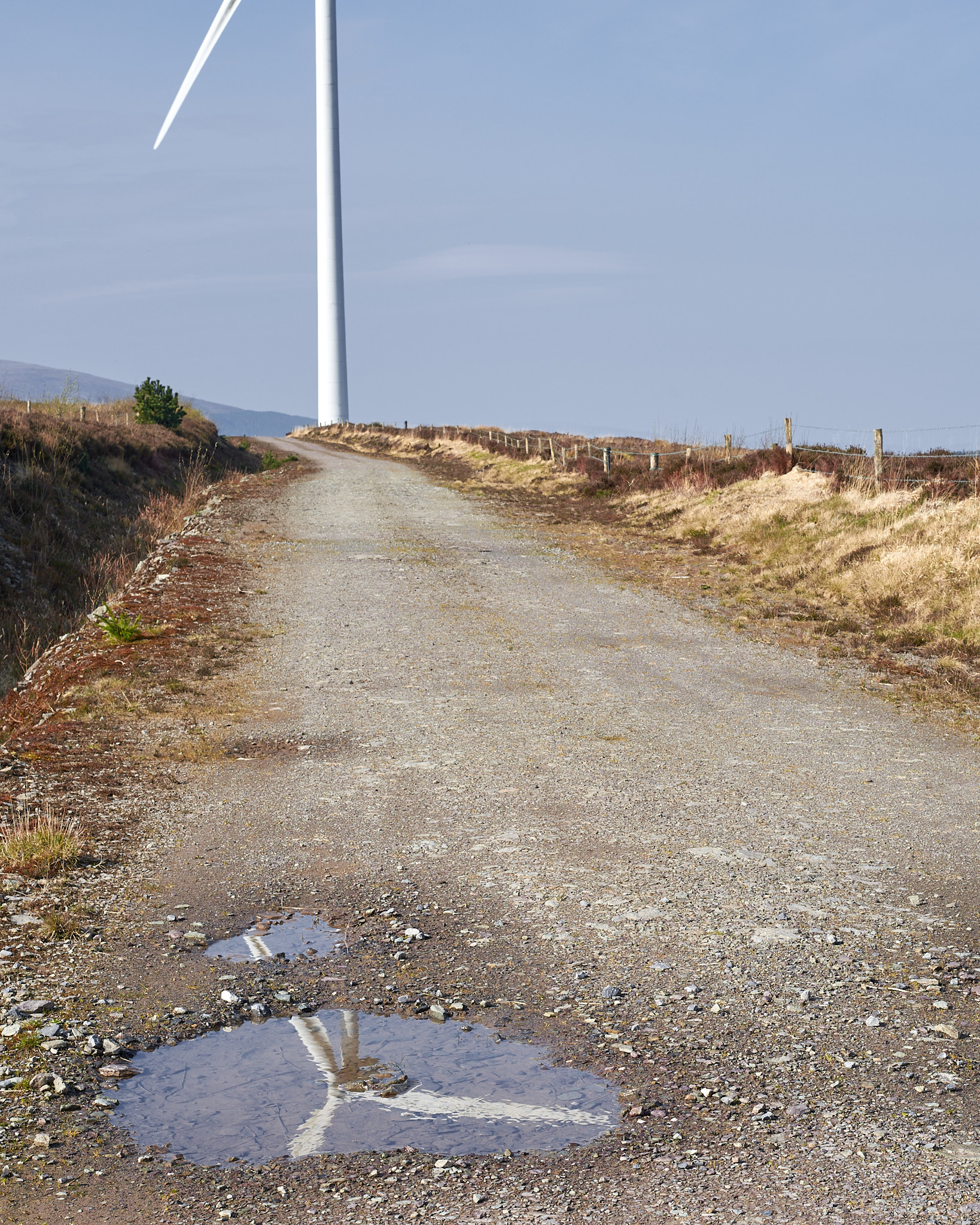
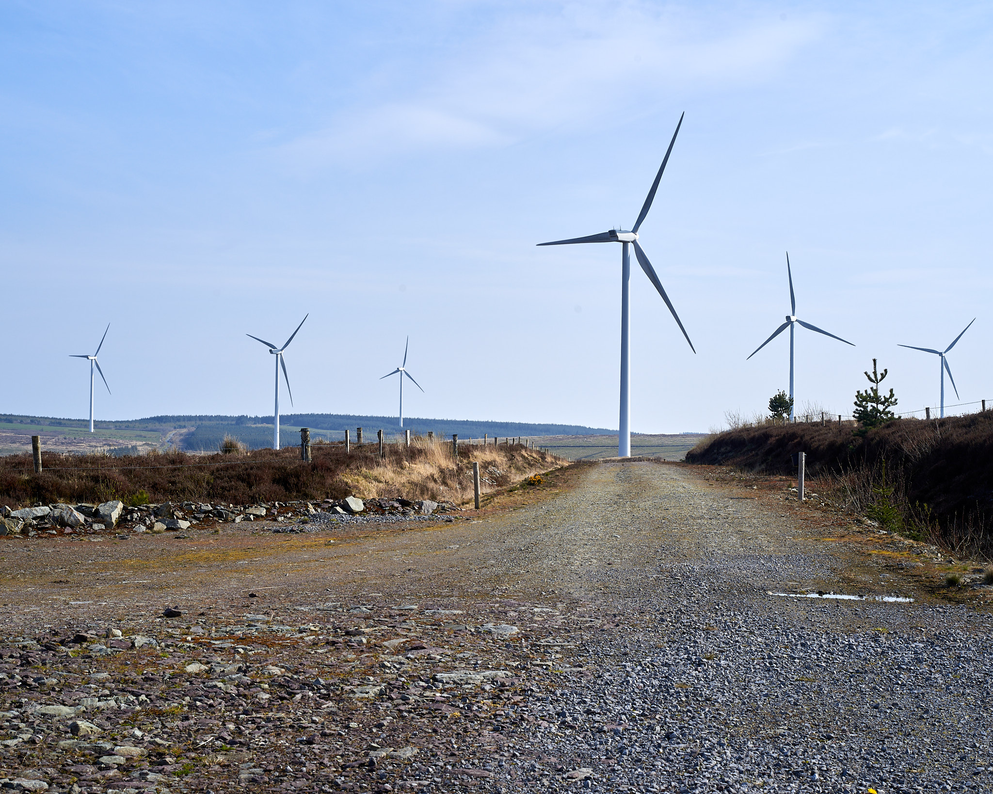
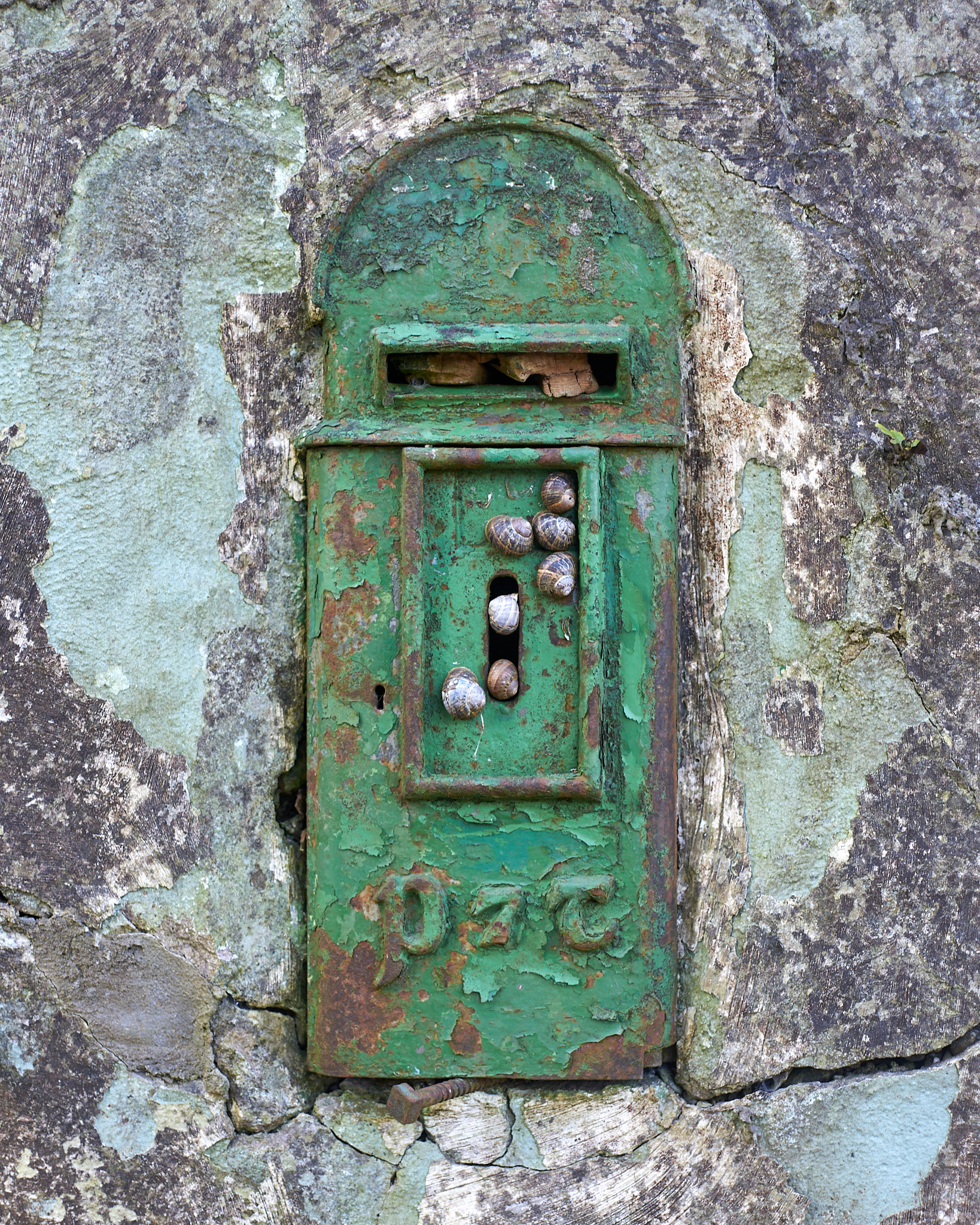
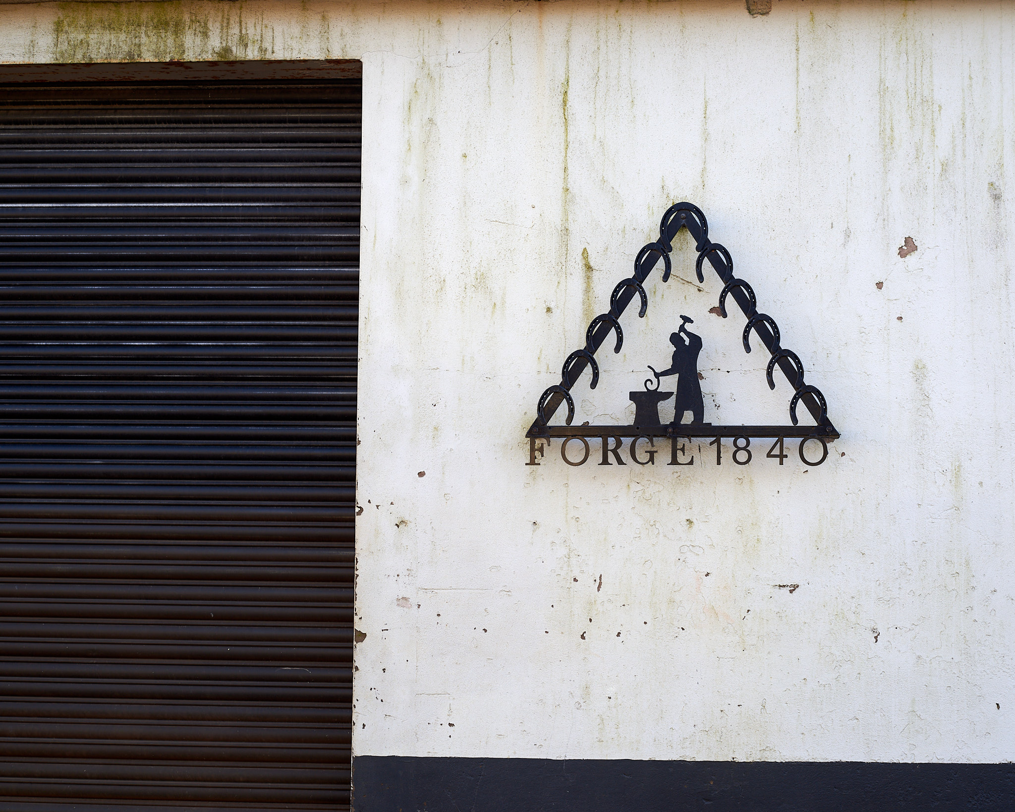
Image samples
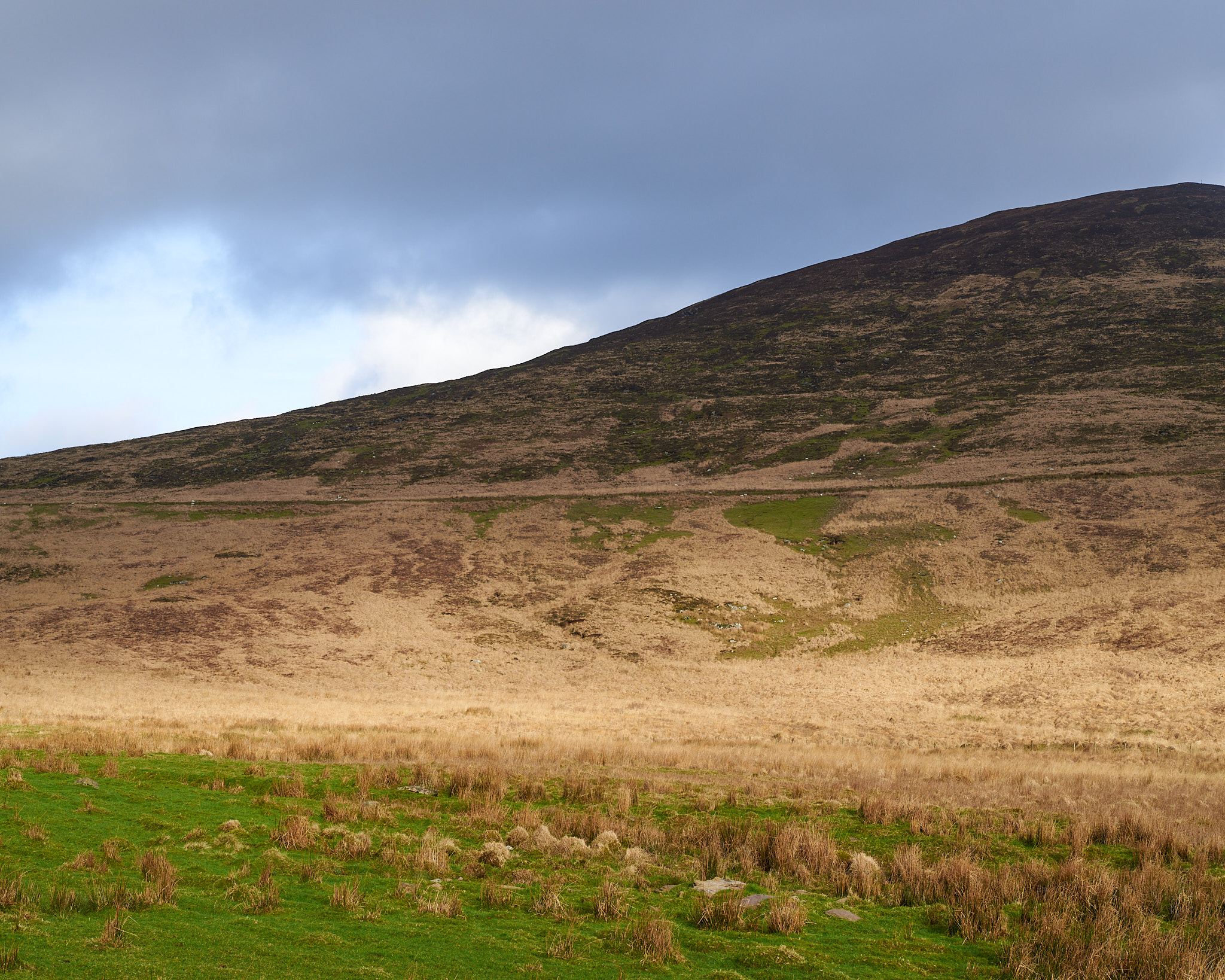
Topography


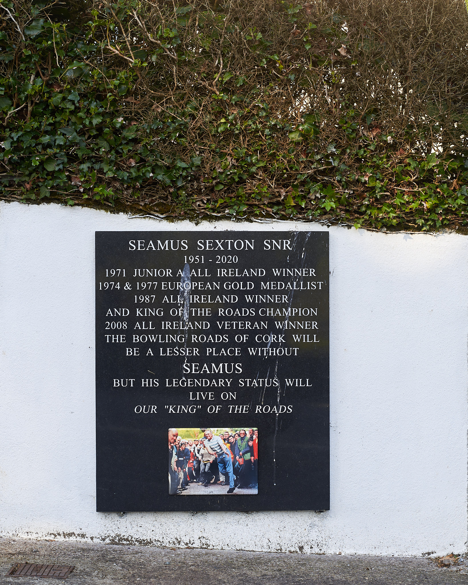
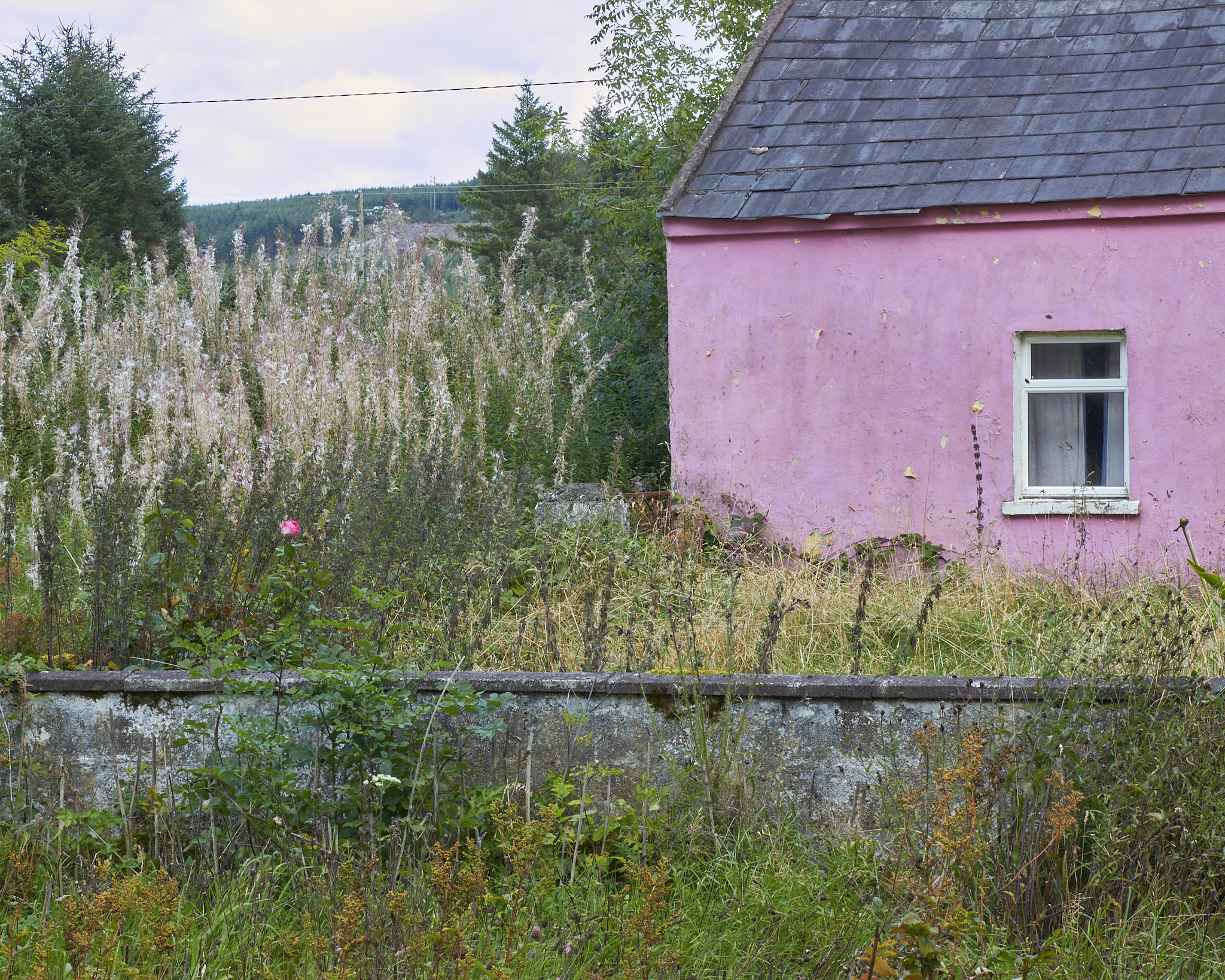
Settlements
![]()
![]()
![]()
![]()
![]()
![]()
![]()
![]()
![]()
![]()
![]()


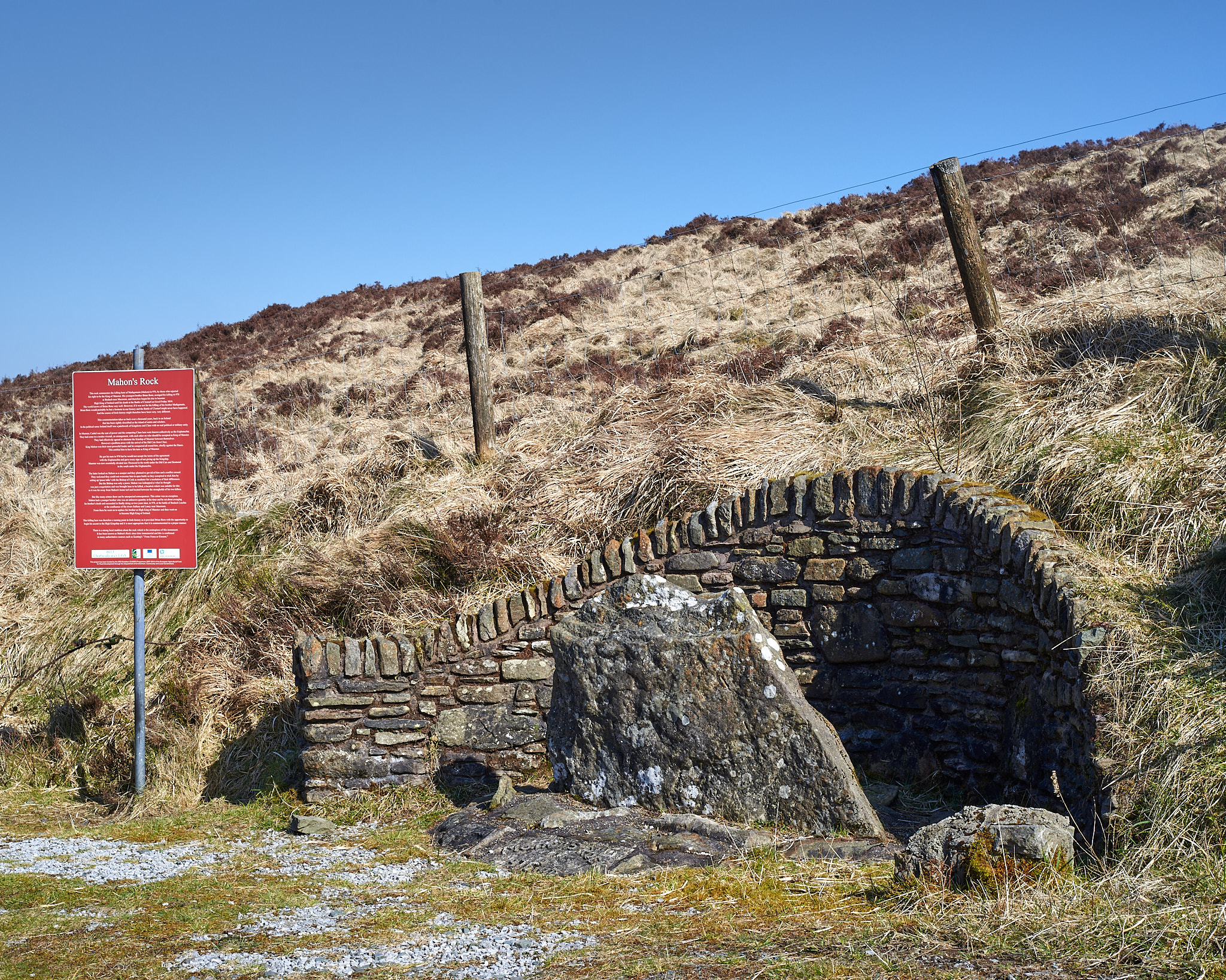


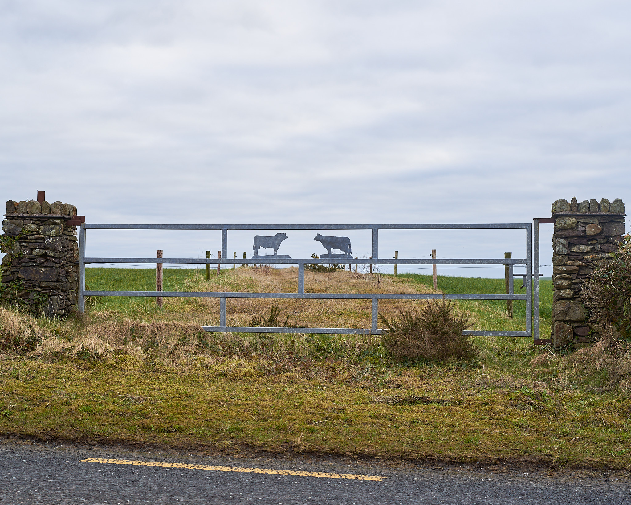
Land Use
![]()
![]()
![]()
![]()
![]()
![]()
![]()
![]()
![]()
![]()