

Stéphane Bruchet
_______________________[Back to project page]
The cultural landscape
of the Boggeragh UplandsPages structure:
- Introduction
- Uplands map and distribution
- Image samples
- Introduction
- Uplands map and distribution
- Image samples

The collection consists of 300 images organised in 3 main themes:
- Topography forms & features of land surfaces
- Settlement Structures & human occupation
- Land Use Economic & recreational activities
The visual on the right shows the Boggeragh Uplands as if sea level rose by 150 metres. Althought there is a continuity in the landscape and how people have occupied it over thousands of years, it is not considered a consistent area from an administrative point of view.
It is divided in 2 constituencies (Cork North Central & Cork North West), 3 Local Election Authorities (Mallow, Kanturk & Macroom) and 8 Civil Parishes.
There are over 100 townlands, the oldest land division in Ireland. Most were named after natural features (waterways, elevation, communication paths) and seem to convey a sense of connection to the land lost in modern divisions.

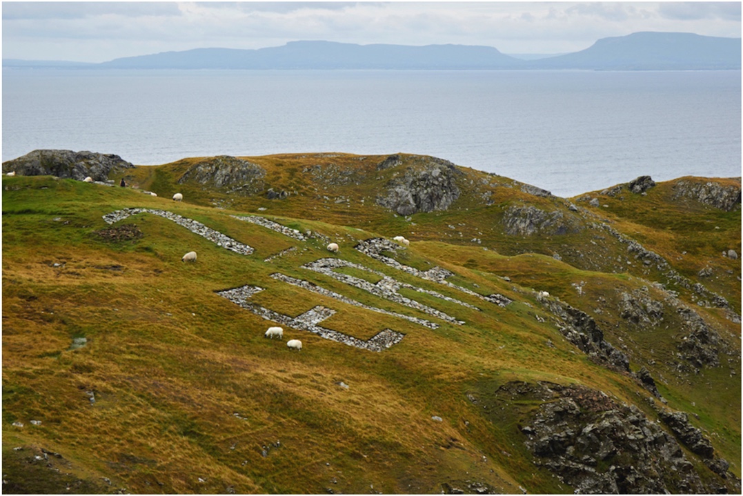
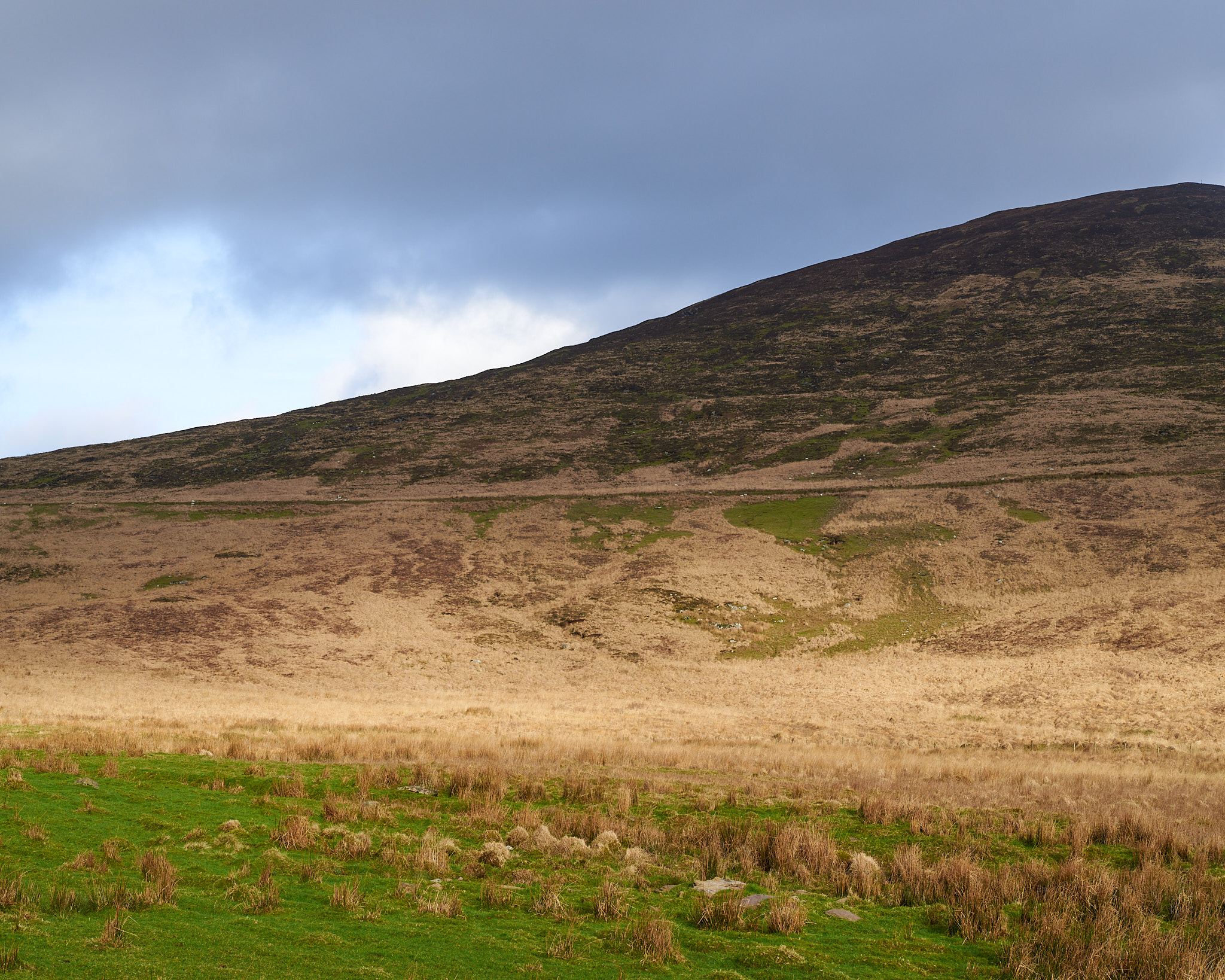
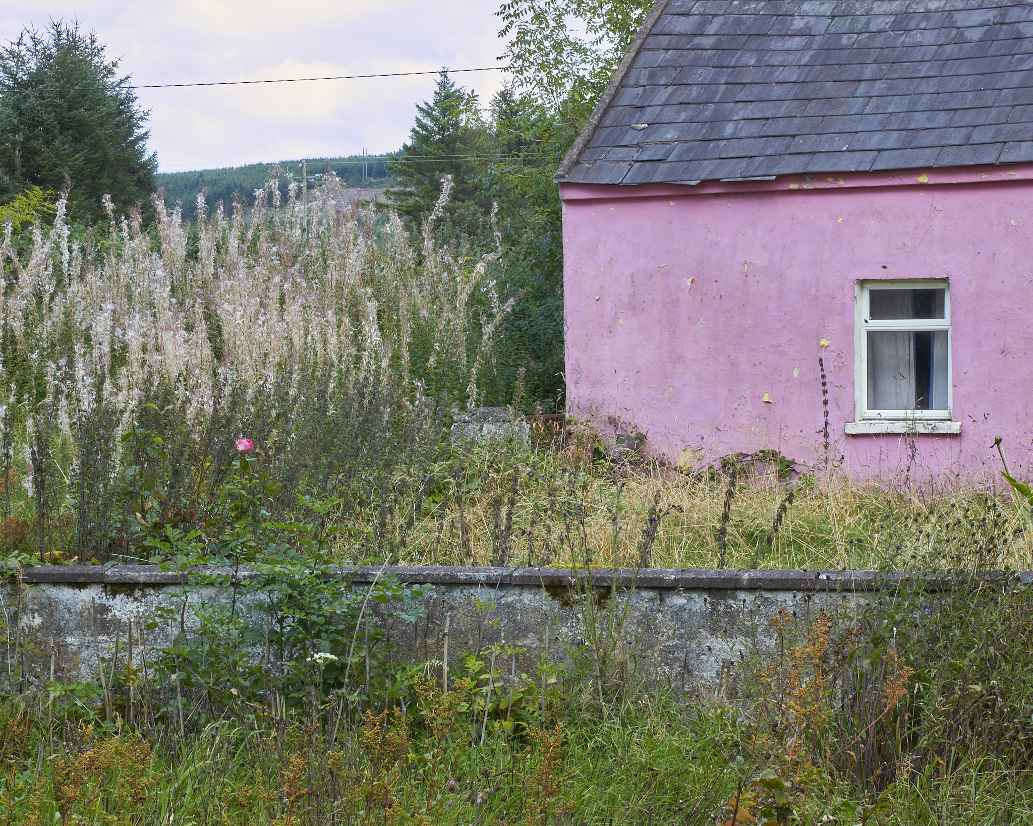
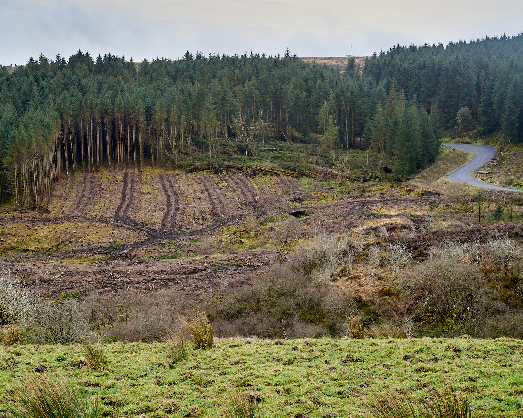
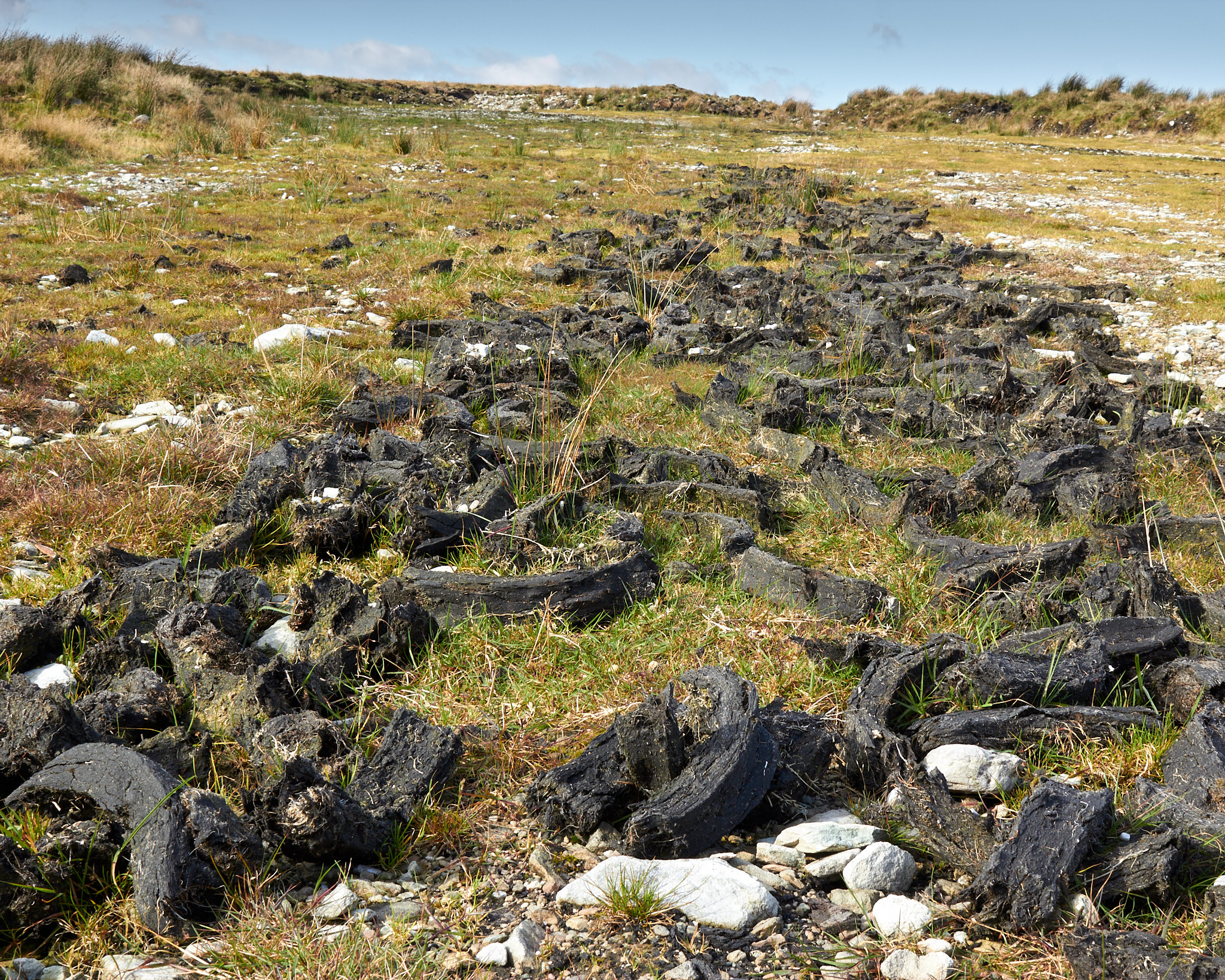
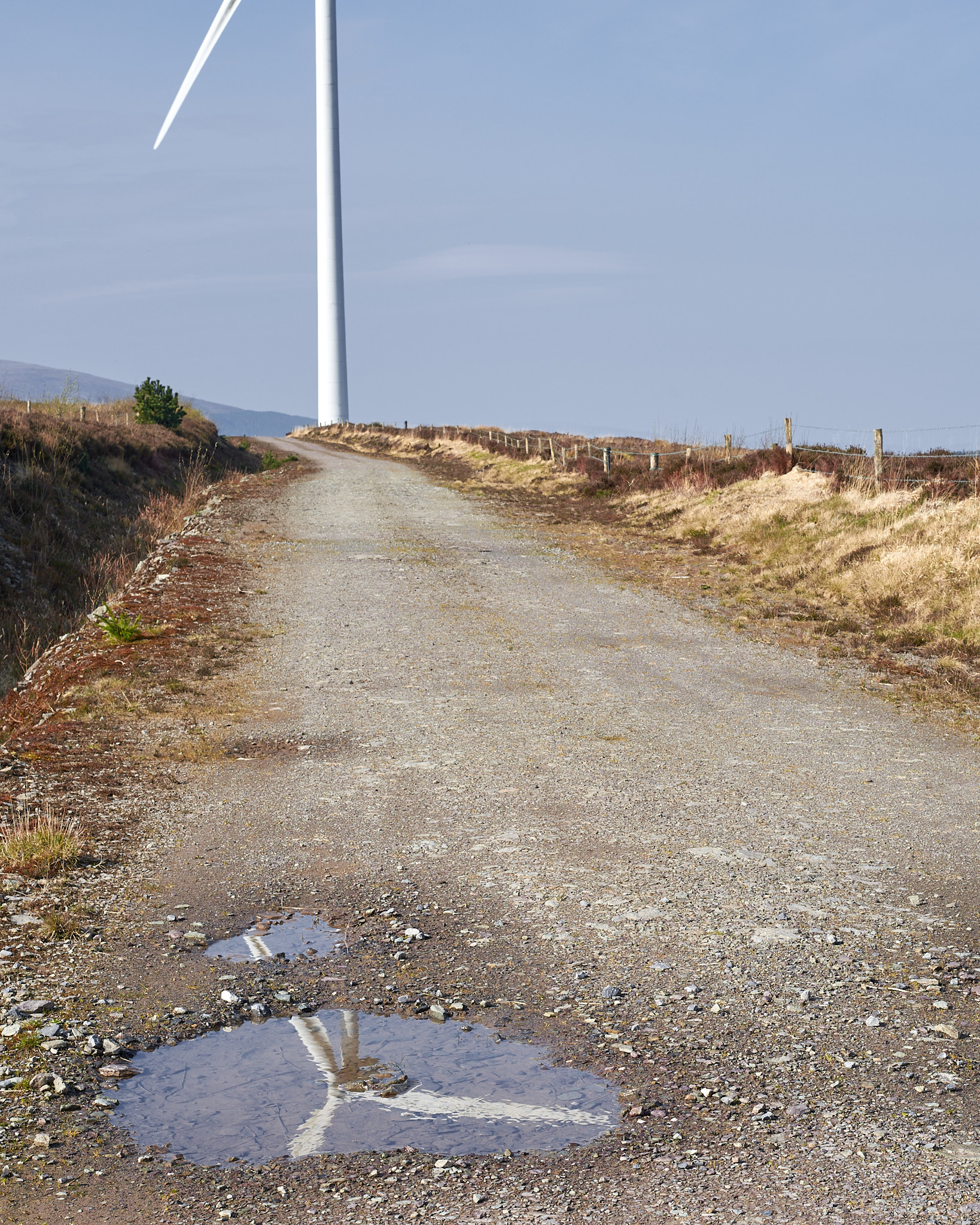
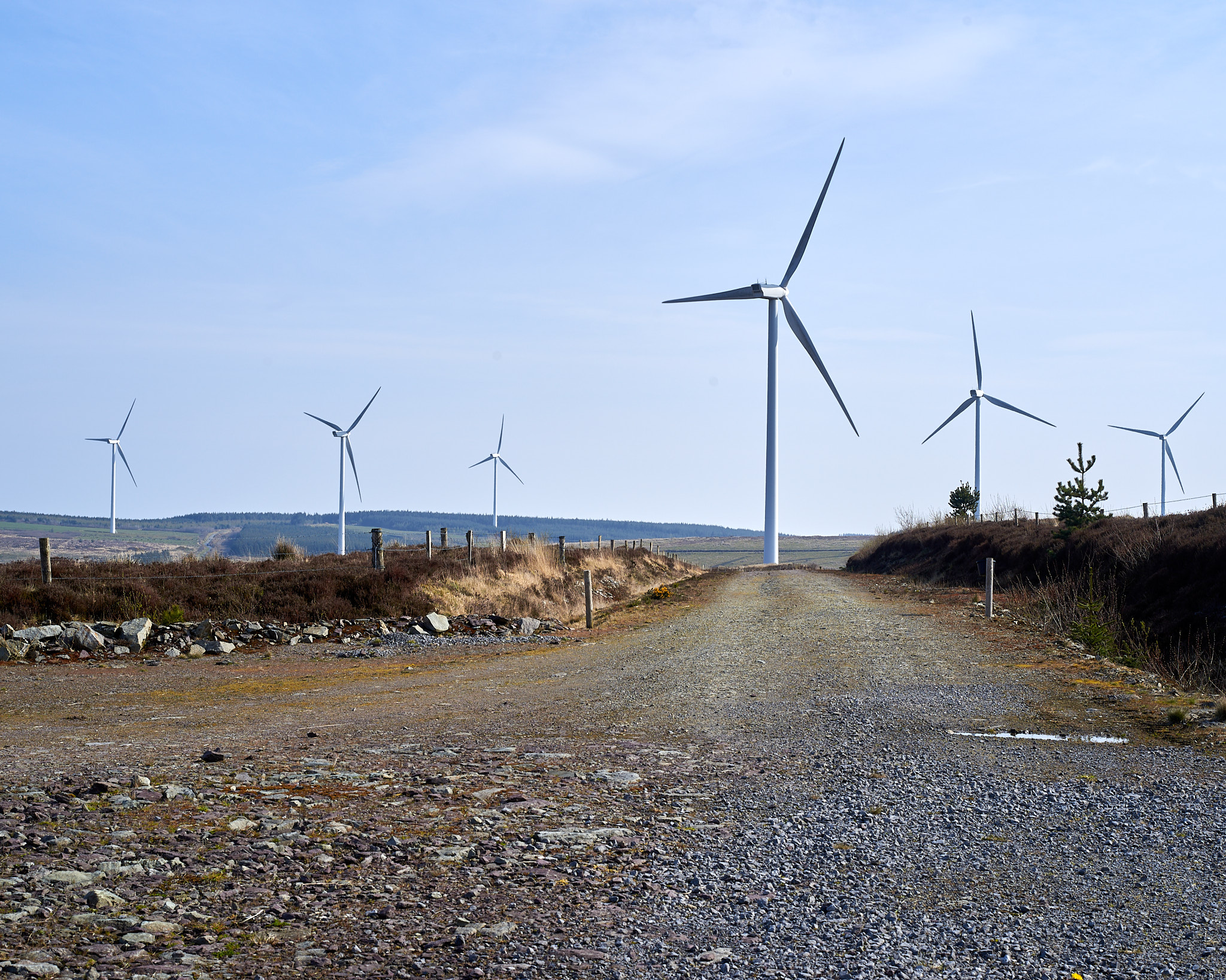
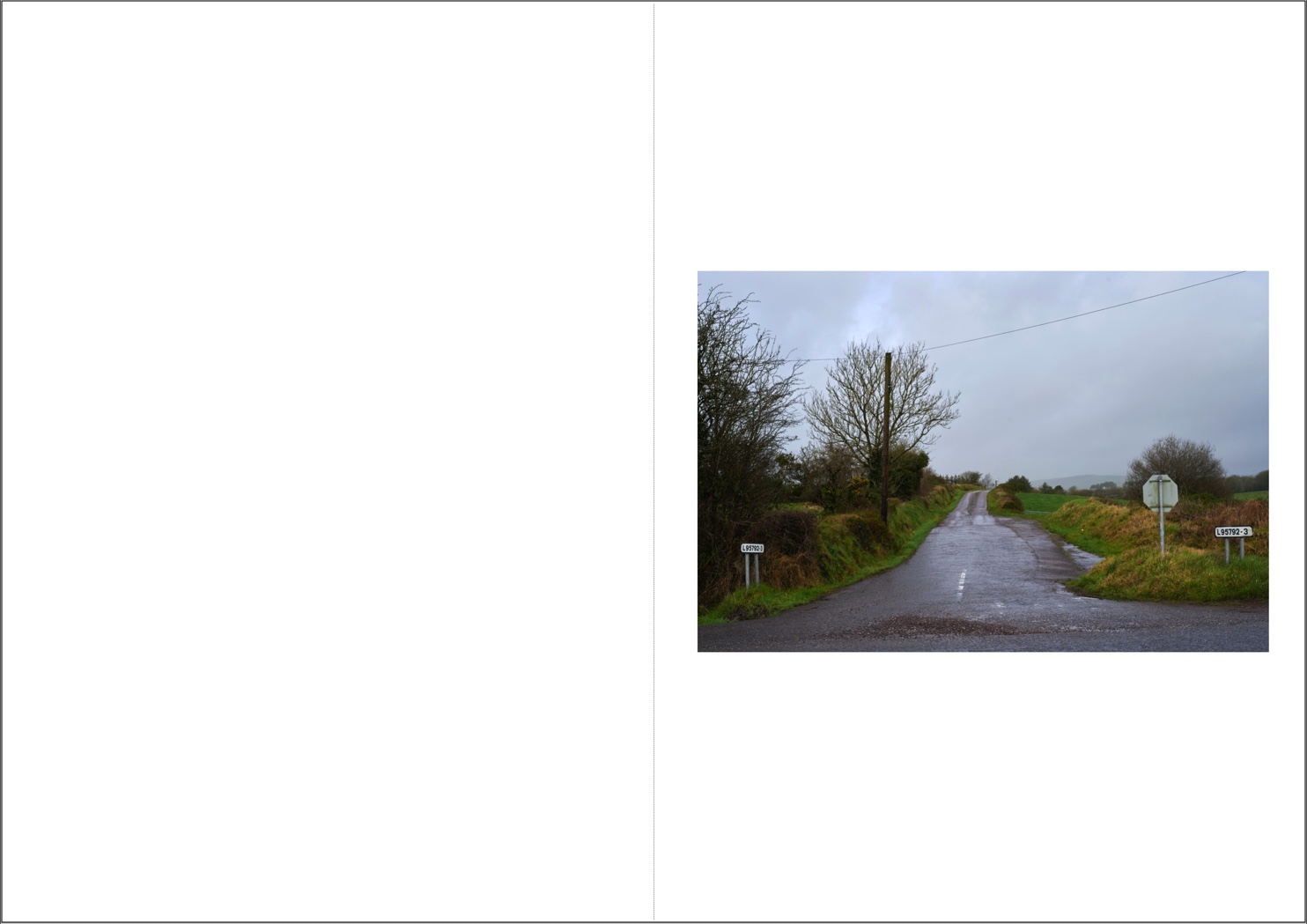
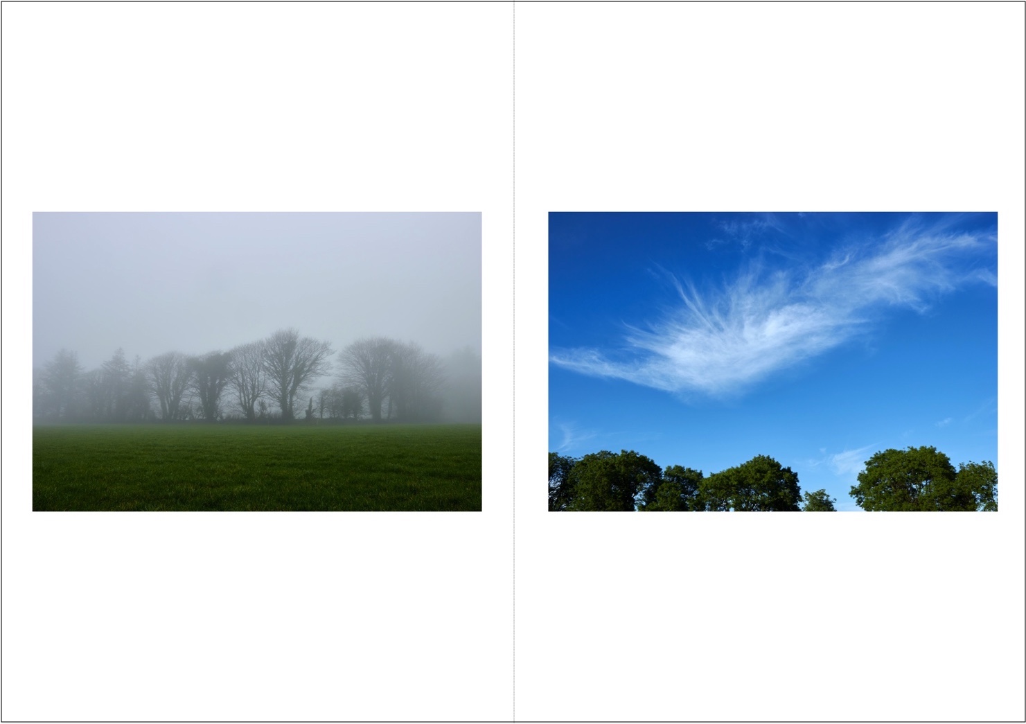
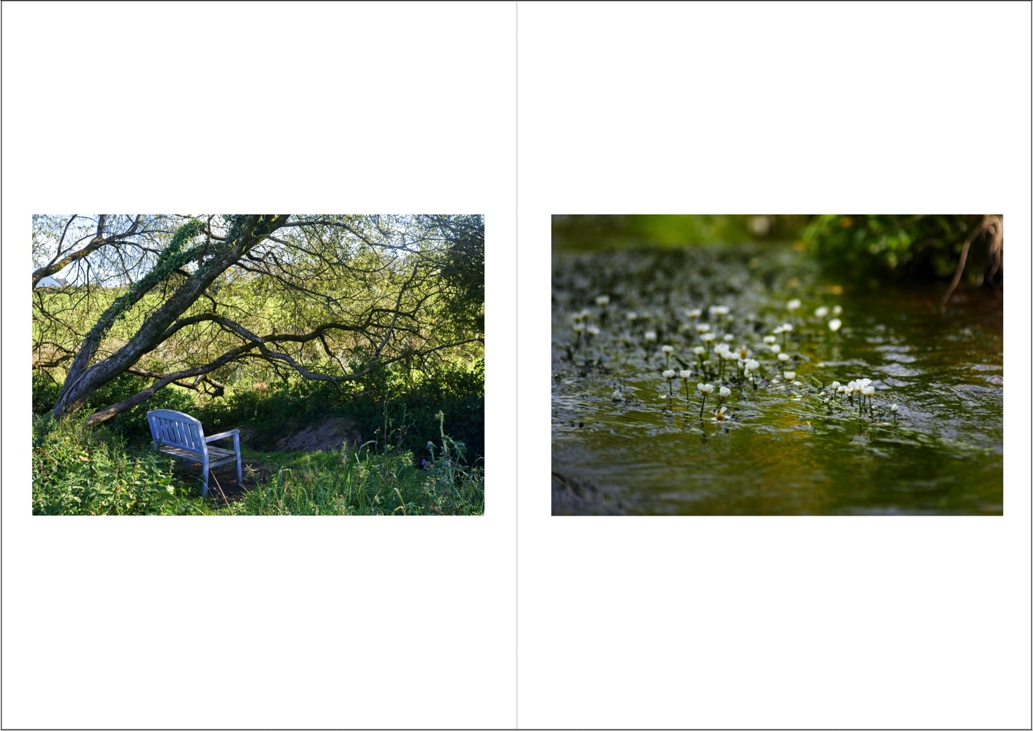
Image samples
Topography


Settlements
![]()
![]()
![]()
![]()
![]()
![]()
![]()
![]()
![]()
![]()
![]()

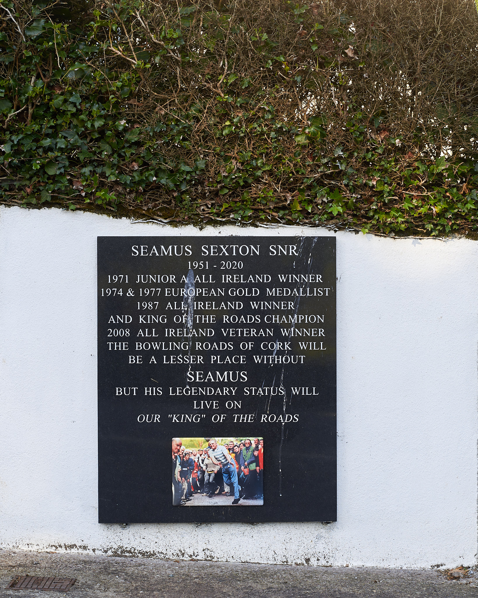


Land Use
![]()
![]()
![]()
![]()
![]()
![]()
![]()
![]()
![]()
![]()


Stéphane Bruchet
︎Archives- The lane
- Uplands
- The Gearagh
- Seen City
- flow
- Oilean
︎Contact


The lane | 2020
First lockdown.
I went looking for sanity, I found peace.
And made 10 little books at home for the neighbours of the lane.


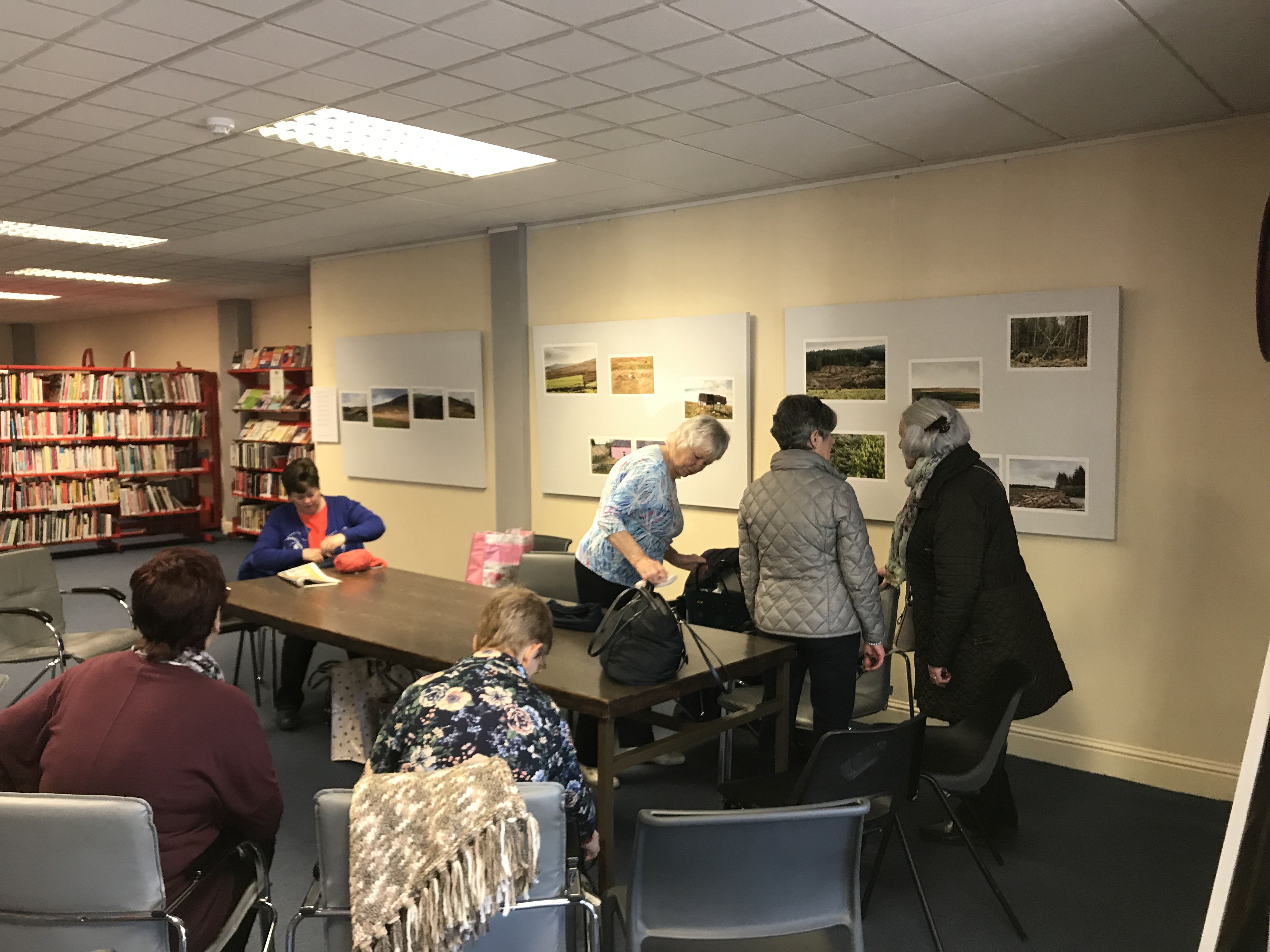
Uplands | 2019
Ballincollig Library
Stéphane Bruchet
︎Archives- The lane
- Uplands
- The Gearagh
- Seen City
- flow
- Oilean
︎Contact
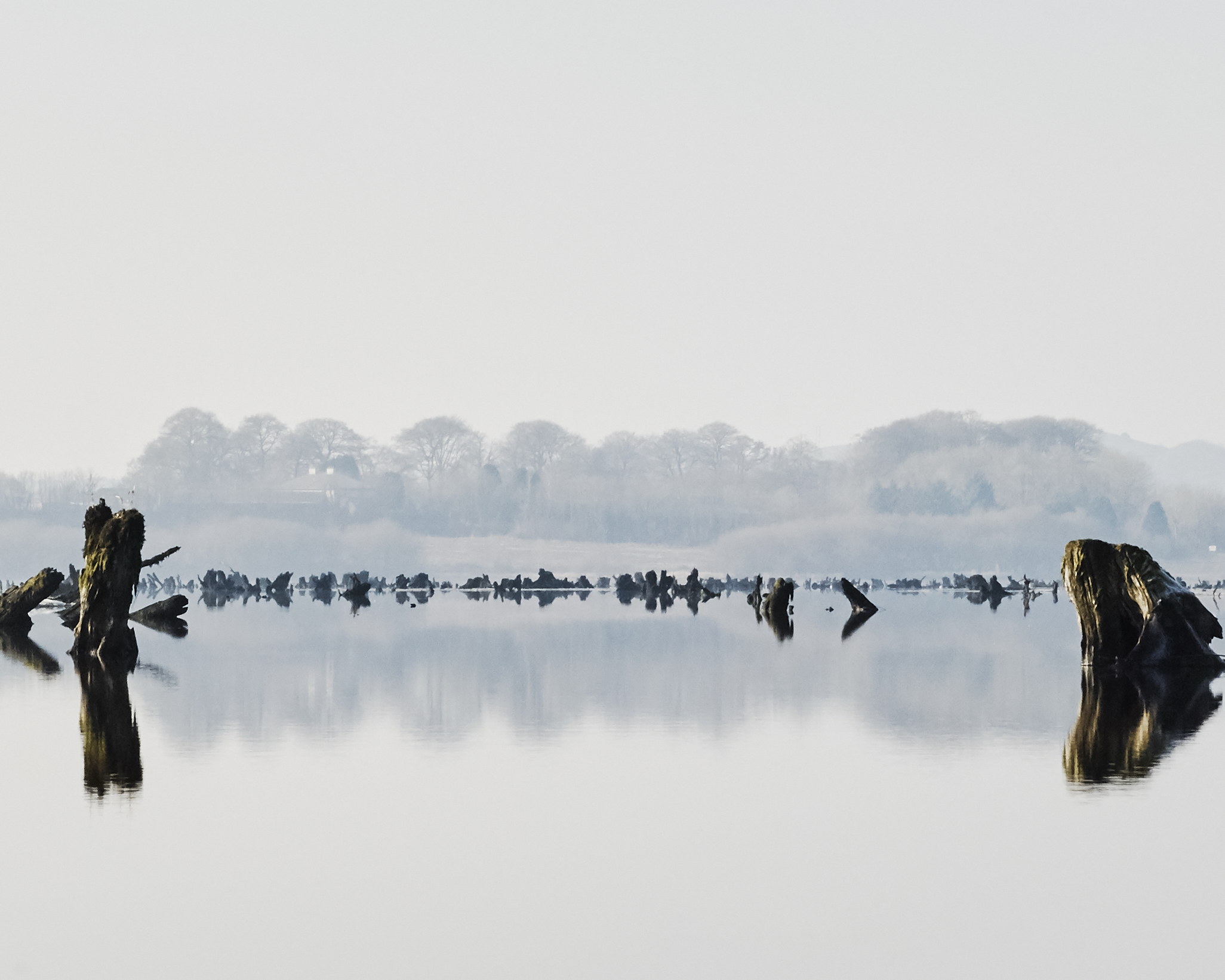
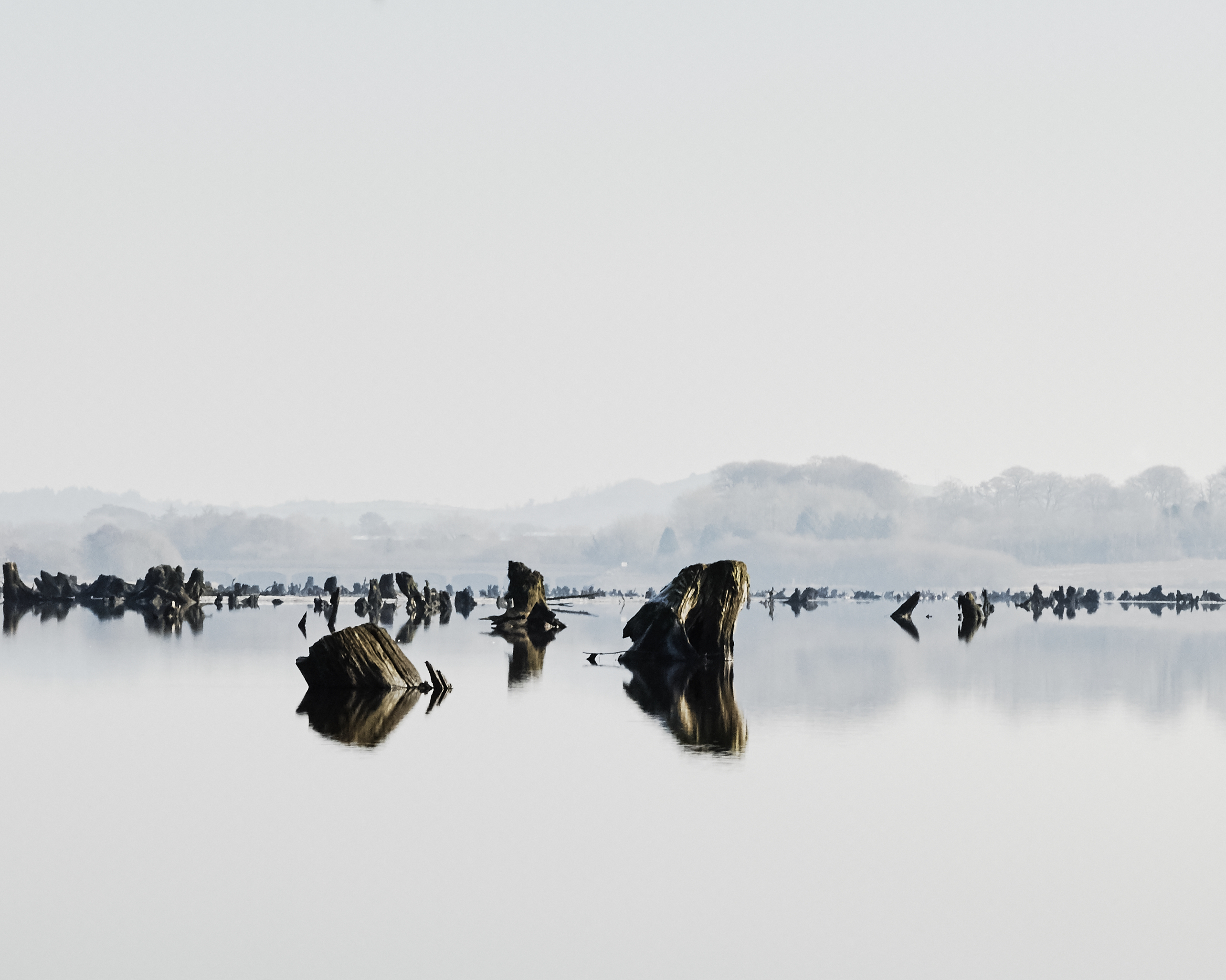
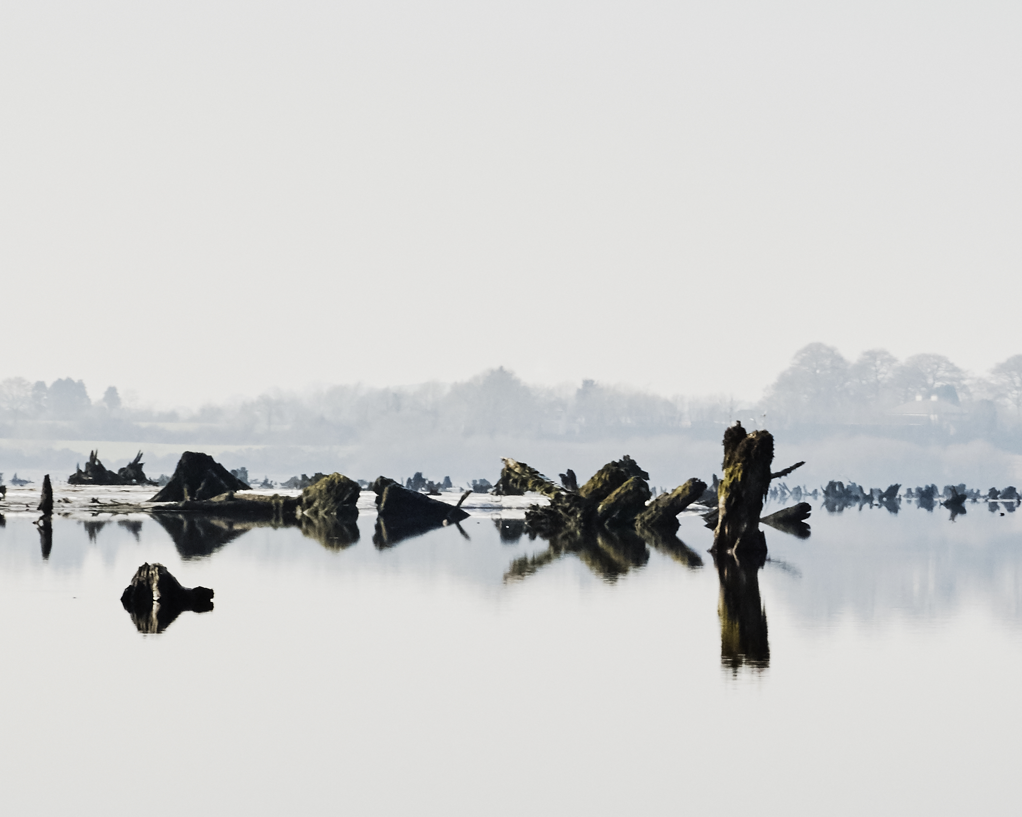
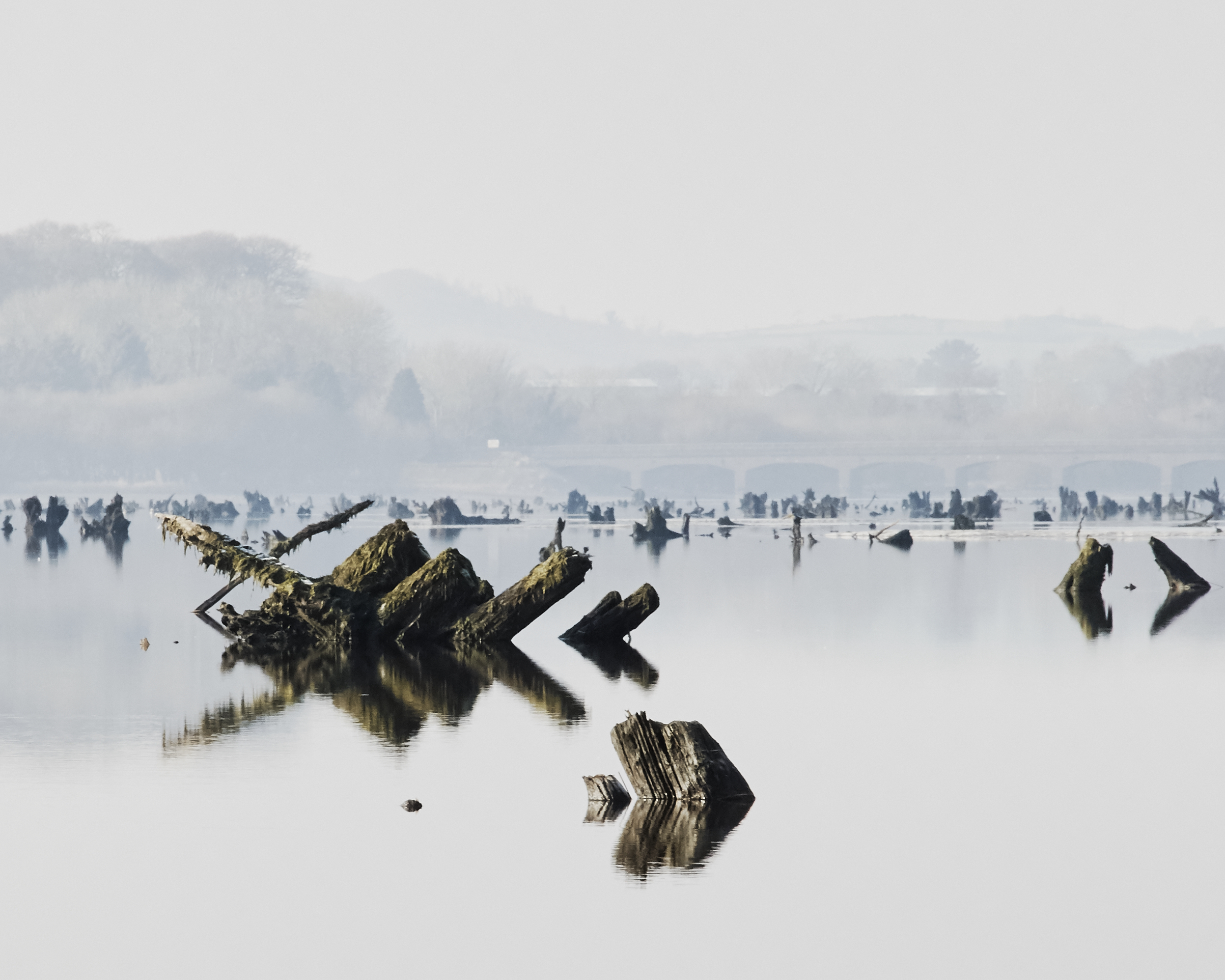
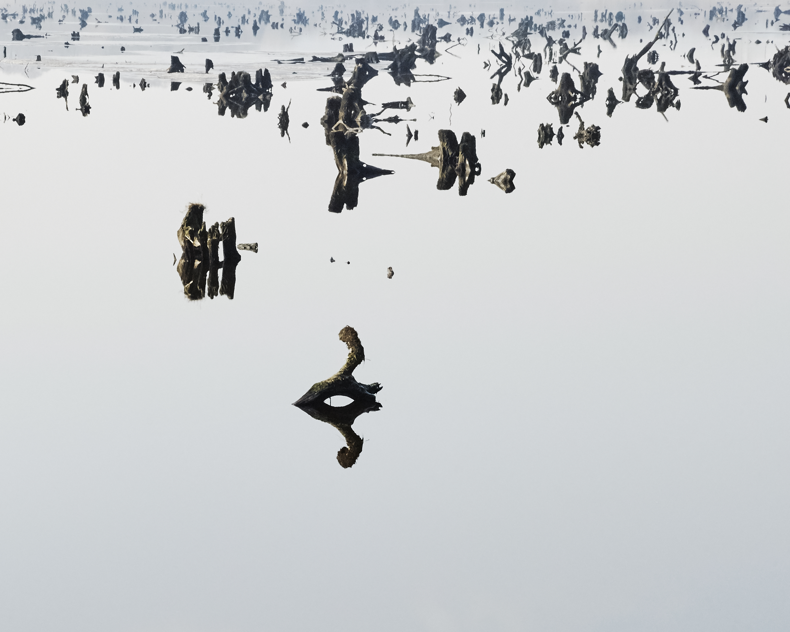
The Gearagh | 2017
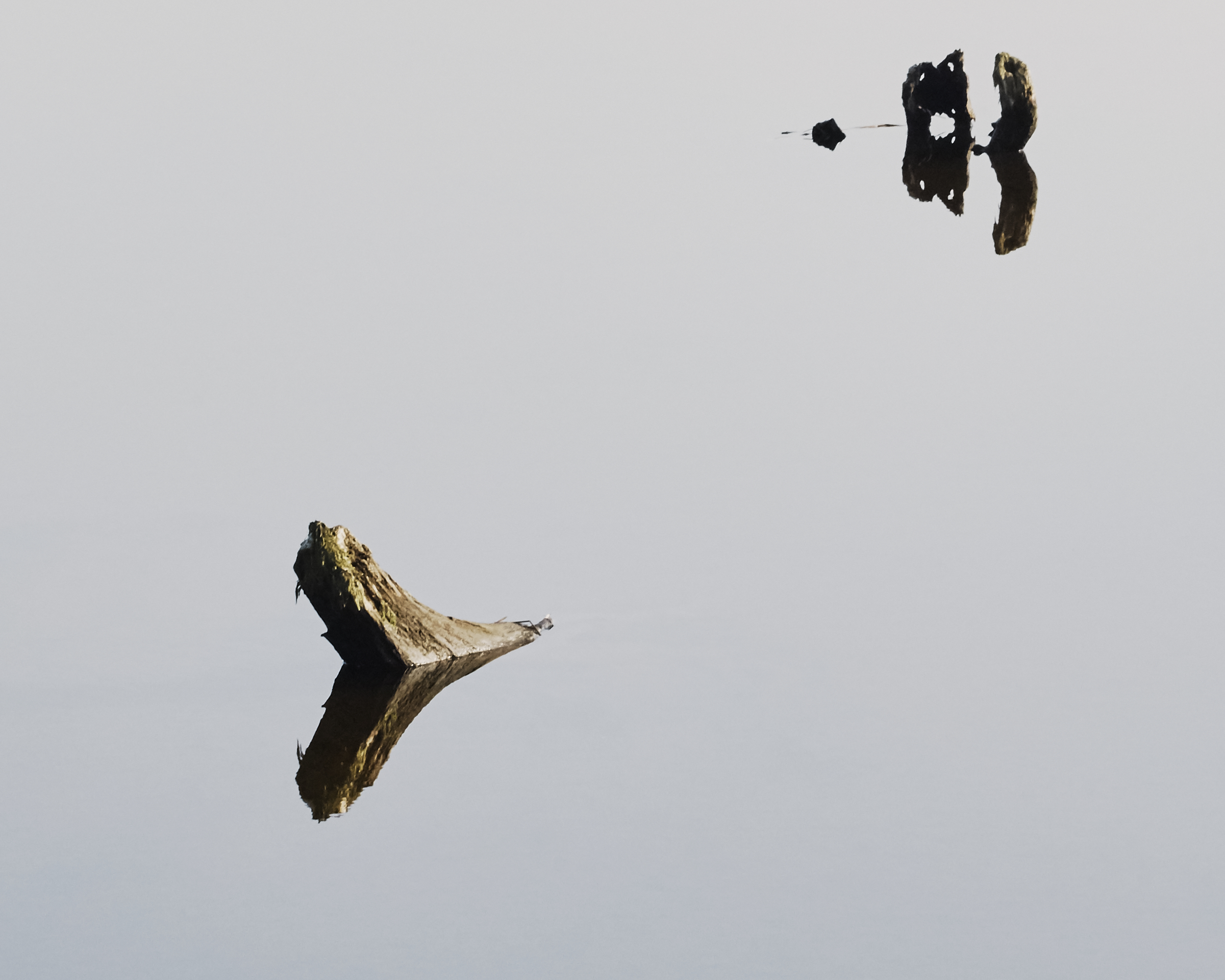
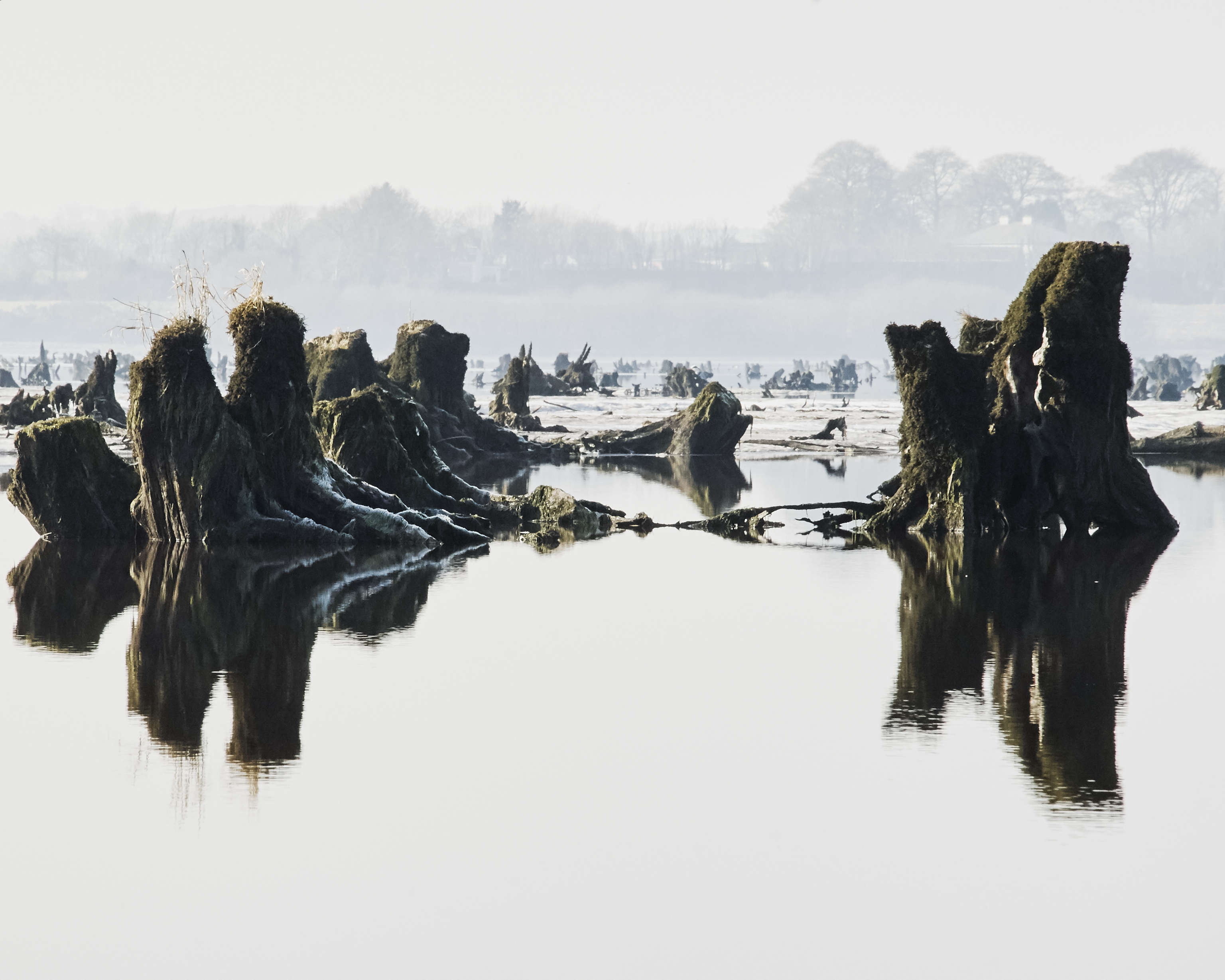
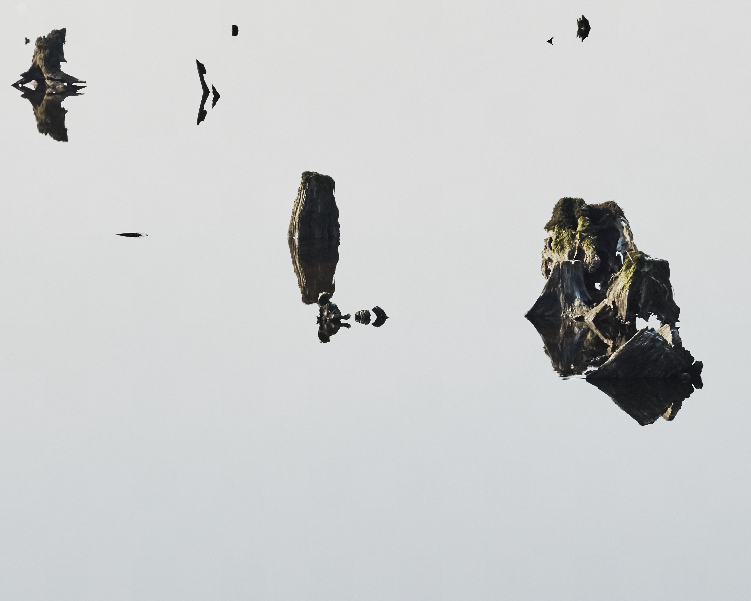
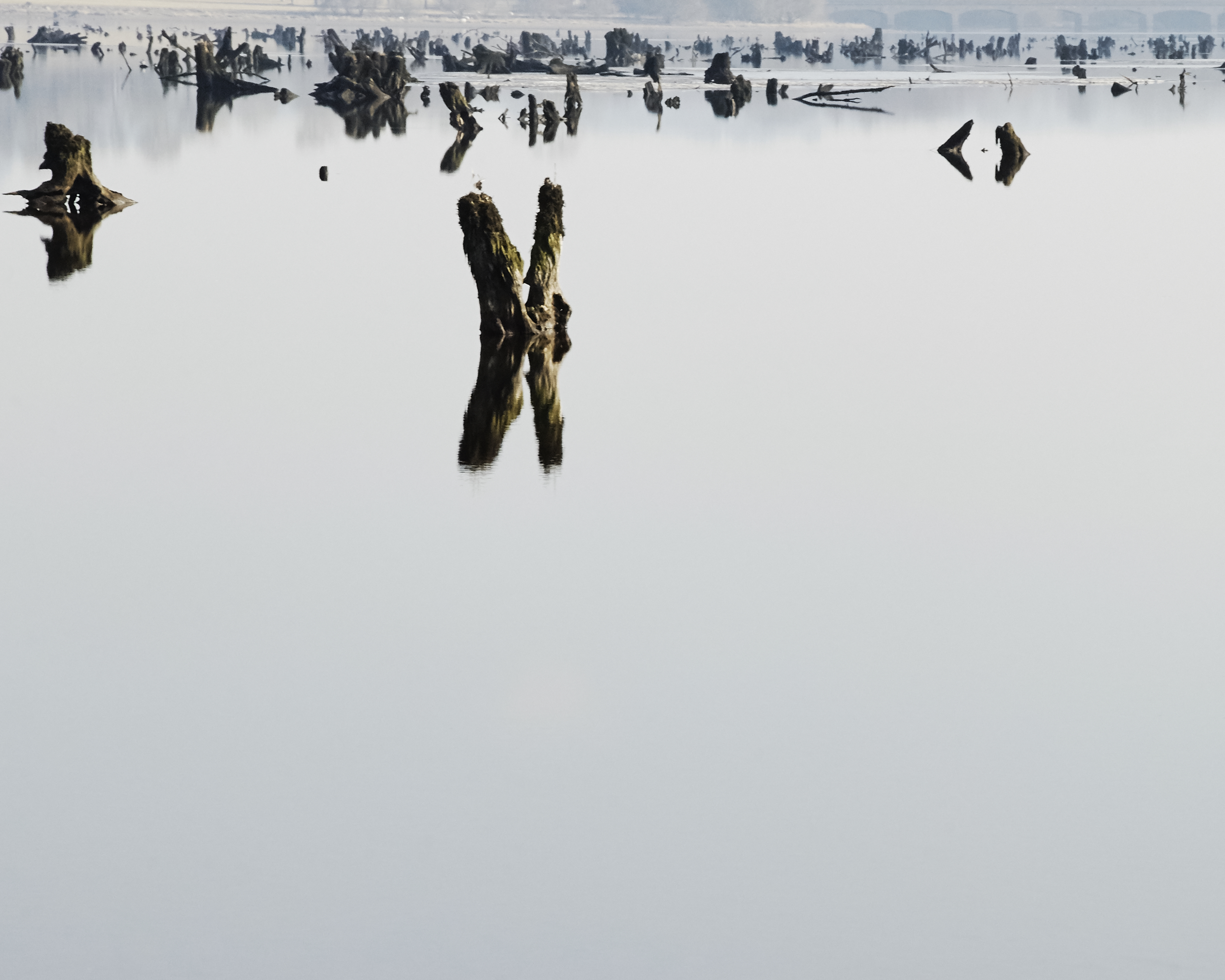
The Gearagh is the only post glacial alluvial forest in Western Europe and forms a delta on the river Lee in County Cork. The Irish name, An Ghaoraidh means the wooded river.
In the 50s, the construction of 2 reservoirs downstream to generate electricity and regulate the flow of the river resulted in the destruction of 60% of the Gearagh’s specific ecosystem.
The difficult task of falling the trees in this network of streams took 3 years and as a result, tree stumps were left in place and covered by the rising water of the reservoir.
The stumps would appear and disappear as the water levels were regulated.
The Gearagh is now a protected site.
Shows:
︎ Fintan Lynch air, Kinsale - 2017 (full series)
︎ Halftone Print fair, Dublin - 2015 (3 selected prints)
Print Details:
Hahnemühle rag 308 gsm
Individual prints| size: 20x25 cm | Edition of 7 (+1 AP)
Full series (As presented)| size: 80x95 cm | Edition of 4 (+1 AP)